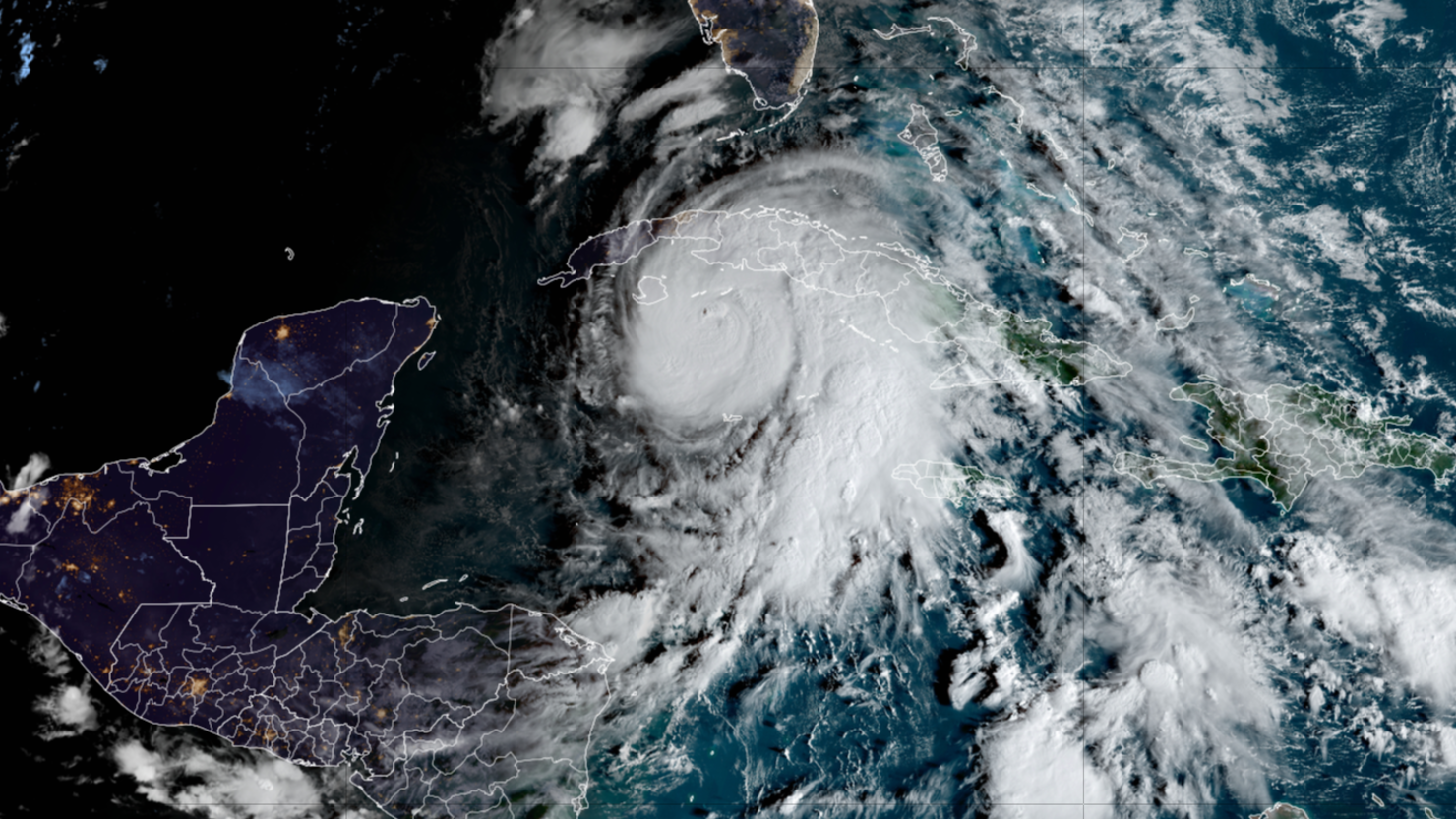
 Hurricane Rafael, currently a Category 2 storm, is forecast to intensify to a major hurricane as it approaches western Cuba on Wednesday, according to the National Hurricane Center (NHC). As of 10 a.m. ET, Rafael was located about 130 miles south-southeast of Havana with sustained winds of 110 mph, moving northwest at 14 mph.
The storm is expected to strengthen to a Category 3 hurricane, with winds between 111 and 129 mph, before making landfall in Cuba’s Pinar del Rio province Wednesday afternoon. Rafael is projected to pass near the Isle of Youth earlier in the day, bringing dangerous conditions to the island and the Cuban mainland. After crossing western Cuba, Rafael is expected to move into the southeastern Gulf of Mexico by Wednesday evening, where it will remain a hurricane.
The NHC has issued a hurricane warning for the Cayman Islands and the Cuban provinces of Pinar del Rio, Artemisa, Mayabeque, Matanzas, and the Isle of Youth. Western Cuba is bracing for severe impacts, including life-threatening storm surge, hurricane-force winds, and flash flooding. A storm surge of 9 to 14 feet above normal tide levels is anticipated along Cuba’s southern coast in areas of onshore winds.
Heavy rain is expected to blanket western Cuba, with forecast totals of 4 to 8 inches and isolated peaks of up to 12 inches in mountainous areas, raising the risk of flash flooding and landslides.
The Florida Keys are also preparing for tropical storm conditions on Wednesday. Rainfall totals of 1 to 3 inches are forecast, and the NHC warns of possible tornadoes in the lower and middle Keys and far southwestern Florida. Tropical storm warnings are in effect from Key West to west of the Channel 5 Bridge, as well as the Dry Tortugas.
As Rafael approaches, residents in affected areas are urged to complete storm preparations and heed all evacuation and safety advisories.
 Milon Shil All About Entertainment, Lander World